Category Archives: flying

Stupid TFR

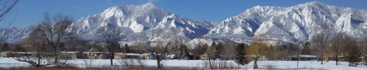
It is a beautiful day today. Friday I tried to go flying but there was so much haze from the fire up near Wyoming that it was just no fun. So I’ve been looking forward to flying today. But I can’t.

OBAMA is in town.

I have no interest in this. I don’t care if he wants to try to drum up votes from the students.

But because of him, I cannot fly. There is a stupid Temporary Flight Restriction over the whole city – Denver and Boulder. I think this is insanity. I’ve been told that back in the 40’s Harry Truman used to walk around on the street in DC. People would say hello. Now the President thinks he is a God, and that all the citizens in the country are serfs that he can just walk on. Probably not fair — it probably isn’t really him that thinks he is a God – it is probably all the retinue of fascists around him. And I guess it is true that there are a lot of crazy people out there who want to do violence. But stopping air traffic over the whole city? Isn’t that too much?

Getting tomcat running again

It has been a hell of a struggle to upgrade the server (which hosts this site) from Fedora 13 to Fedora 17. The last step was to get my flying apps running in Tomcat again. I confess I don’t track what happens in the java world very closely. And it is a very active world – lots of stuff happening. So it is no surprise I suppose that when you jump four releases there are some adjustments to be made.

To get tomcat running I had to make the following adjustments, in addition to the obvious stuff of adding the FlightPlan war file to /usr/share/tomcat/webapps, installing the mysql jdbc connector, and updating /etc/tomcat/tomcat-users.xml.

Tomcat was unable to find org.apache.tomcat.dbcp.dbcp.BasicDataSourceFactory. I had to add:  JAVA_OPTS=”$JAVA_OPTS -Djavax.sql.DataSource.Factory=org.apache.commons.dbcp.BasicDataSourceFactory” in /etc/sysconfig/tomcat. It may be that this is a problem of my own making somehow. In an earlier post I commented about the ongoing evolution in the methods available to connect java apps/servlets with databases. My servlets now use java Datasources, which I think are the “latest thing”, and I’m a little surprised that I have to make special provision for finding the classes. This makes me think it probable that if I understood this better, and did things according to “best practice” in the java world, I wouldn’t have this problem. But as I said before, catching up with all the advancements in java over 7 years is a tall order.

Then Tomcat was unable to find apache-commons-pool.jar, so I had to add a symlink: commons-pool.jar -> /usr/share/java/apache-commons-pool.jar in /usr/share/tomcat/lib. This is less surprising I think. The reference to this part of apache commons is coming from the previous (BasicDataSourceFactory) classes. If the former aren’t there, we don’t need this.

The flying apps seem to be running properly now.

Leadville

Certificate

Today I flew N8132Y to the Lake County Airport in Leadville, Colorado. This airport has the distinction of being the highest paved runway in North America, at 9927 feet. The folks at the airport tell me that it is the third highest in the world, after one in Nepal and another in Peru.
It is a beautiful flight on a nice day, although there is no escaping the fact that flying through the mountain valleys you are going to get bumped around a little. For me, this is part of the challenge of learning to fly in the mountains. I have never quite gotten used to turbulence, even mild turbulence. Most of my flying has been over the plains, and all in good weather. If it is turbulent out, mostly I don’t fly (although my private checkride was an exception). But if you go over the mountains at the lower altitudes of these small planes, there are going to be air currents. You just have to expect it, and learn to keep your heart from jumping into your throat. After all, the wings are not going to fall off.
The second thing which makes these flights different is the requirement that you constantly be thinking about where you will put the plane if you have to make an emergency landing. Naturally this is way less of an issue in a turbo-normalized twin like 32Y. If I lose an engine, I have another, and with the turbos I can maintain altitude with one engine, and find a place to put down safely. But I’m still thinking about it. How far am I from surrounding airports? Is there a reasonable straight road around?
Finally, there is the excitement of trying to take off in a fully fueled plane, in August, at 9934 feet! Right now with temp/dp at 19/-1 and 30.46 inches, density altitude is 12,100! The runway is 6400′ for just this reason. Fortunately, with N8132Y’s turbos this isn’t really that much of a challenge, but for a normally aspirated engine 6400′ would seem awfully damn short. I wouldn’t want to try taking off today in a fully loaded 172.

Adding maps to my java flying apps

Just for fun I explored the Google Maps API and put maps into the flying apps. The google maps aren’t FAA charts or course, but on a multiple leg trip it is quite handy to be able to see the various stops laid out on a map. I also added maps to the page that shows the list of checkpoints. I think this is pretty handy in flight planning, as the alternative is to mark up a hardcopy chart.

Another nice new feature is airport lookup. This is a jquery enabled box on the pages that are asking for an airport ID. If you are planning to fly to some city but don’t know the ID of the airport there, you can just type in the name of the city. It is an autocomplete thing which does an ajax lookup in the airport database as you are typing, giving you a progressively narrower list of airports in cities that match what you have typed. Once you select an airport the ID is automatically put into the field.

Try the flight planner to see these new features.

Flying Apps updated

I finally got around to writing the code to decode TAFs. A lot of the code for decoding individual terms is shared with the Metar decoder. Metars are actually a bit more complex. The only complexity with TAFs is dealing with a sequence of forecasts for different time periods.
I also updated the ADF Tester applet a little to bring it into this century. It is quite an interesting thing to note how much java’s internal mechanisms mutate over a period as small as 5 years.
The flying apps are on the Flying page.

Flying the Rockies

In an earlier post I mentioned that my early flight education inculcated me with a healthy fear of flying in the mountains, and that I’m trying to build up my confidence. I’m “stretching” myself, pushing myself. Two weeks ago I flew to Steamboat Springs, a charming little town in Northern Colorado. Yesterday I flew to Glenwood Springs on the other side of the Rockies. In both cases this means flying through the mountains. Glenwood Springs is quite a challenging little airport, nestled down in a valley with mountains all around. To get down to pattern altitude (7000 feet) I was descending in a valley southeast where the airport was out of sight, and then flying around this little ridge to finally get into the pattern. The final comes over a little river which creates some little downdraft. And of course this is only a 3100 foot runway. Plenty of runway I suppose, unless you are as inexperienced as I am. I’m landing the twin at blue line, which is 120mph, so if I don’t get it down pretty quick I’ll run out of runway, and the other end of this runway is not very accommodating to running over. Experience pilots would laugh at me. Bush pilots put bigger planes down in much smaller runways. But I’m still pleased. I’m pushing myself, and I’m learning.

Over the divide

Today was a little milestone for me. For the first time I took N8132Y over the divide, solo.
Of course I have been over many times, but always with somebody in the right seat. And Of course, what is the big deal anyway?
But when I learned to fly I was constantly admonished that flying in the mountains is tricky. I have known people who have died flying in the mountains. The winds can be difficult. I’ve had instruction from an accomplished mountain flyer, but still… every time I’ve gone up near the divide before there has been enough turbulence over the ridge that I’ve ended up turning back.
Today I went over. I was at 13,500ft, a comfortable margin over Rollins Pass. I flew on up to Granby, Colorado which is just over the ridge, landed, bought some expensive gas, and came back.
I’m very pleased.

Try out the flight planner

The new flight planner is available as of 4/25/12 on the FLYING page. I’m sure there are still plenty of bugs.

There is also a Metar Decoder and a Query Tool that retrieves airports, fixes and navaids from the FAA database.

There are plenty of tools for doing similar things. The Flight Planner is a little unique in that it is airplane sensitive, which makes it much more useful to me than other such tools, but equally makes it less useful for anyone else.